Satellite imagery & 3D terrain by Mapbox · no trackers
St. Thomas, U.S. Virgin Islands
The road to the villa, seen from above — then driven.
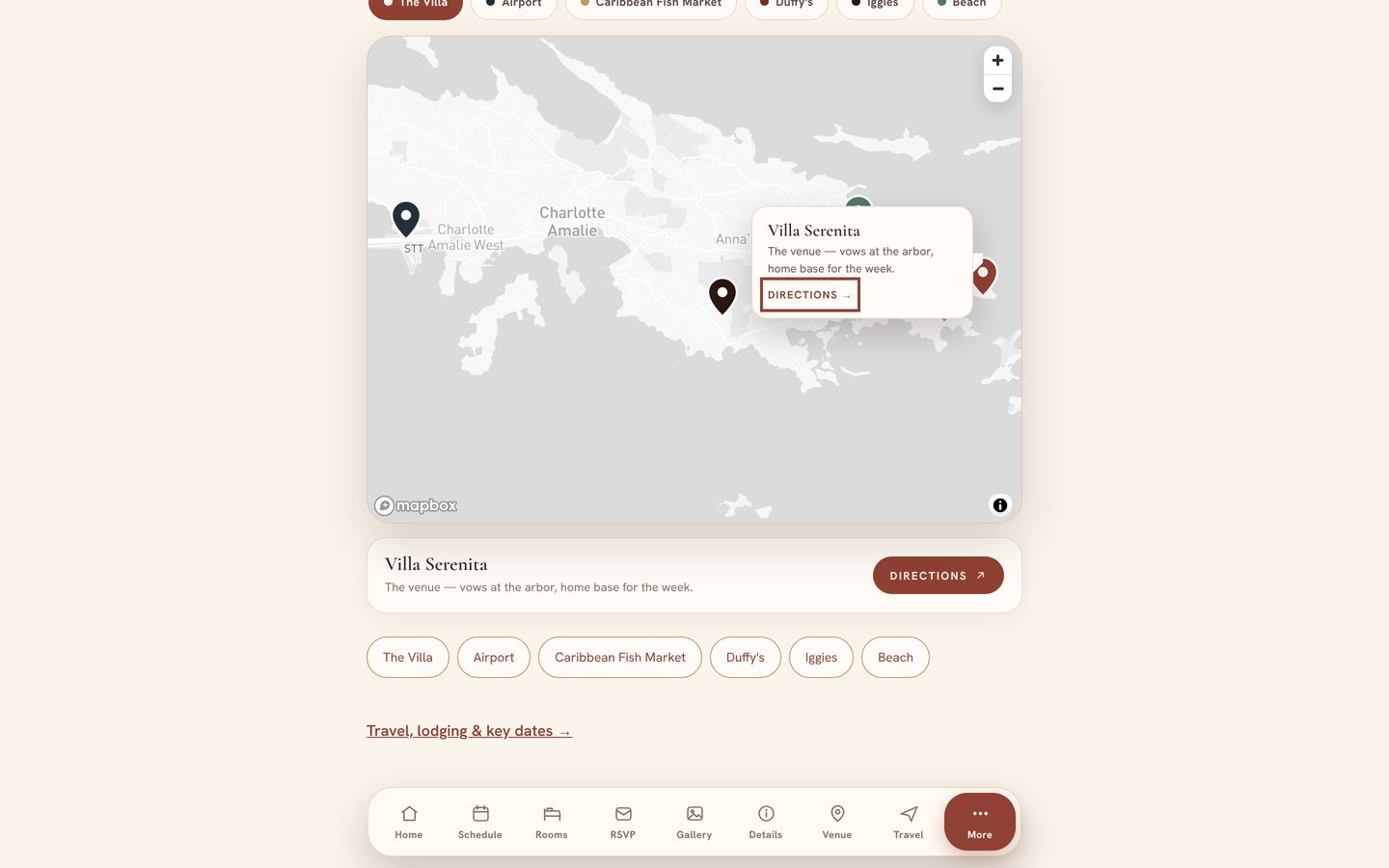
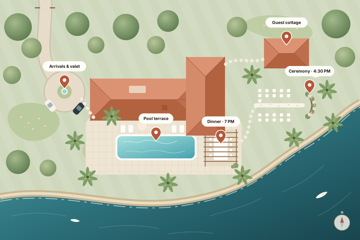
A 3D driving preview of the final approach to Villa Serenita: along Rte 322 from Red Hook, left at the Cabrita Point sign, up Bay Road and along the ridge past Vessup Beach to the fork, where you choose: the villa gate, or the north-shore road to High Point. It opens as a flat overhead map, draws the route, then real satellite imagery and 3D terrain rise in and an island Jeep, a luxury SUV or a simple arrow drives you there turn by turn, stopping at every sign you need to see.
1.2 mi · about 5 min
Overhead → 3D → drive
Satellite + 3D terrain
Works on any phone
Drawing the island…
St. Thomas · East End18.32° N · 64.84° W
Look for this sign
Start at the Cabrita Point sign
A · Cabrita Point signVilla Serenita · B
5
Look for this sign
Right here.
You’ve arrived
Welcome to Villa Serenita.
Pull in through the gate on your right. The rest is taken care of.
Drag to move the map and right-drag to turn or tilt it; on a touch screen use two fingers. With the map focused, the arrow keys move it, Shift with the arrow keys turns and tilts it, and plus and minus zoom. C follows the car, T switches to top down, R shows the whole route in 3D, S switches between the satellite and map views, F toggles full screen, V changes the vehicle and the space bar plays or pauses the drive.
Show guests the way from the airport, the ferry or their hotel to your door — in your colors, on your own site, drawn from real map data. You see a first pass before you pay a thing.
Satellite imagery, 3D terrain, roads and place labels come from Mapbox, and so does the route. Buildings near the drive are OpenStreetMap footprints checked by hand against aerial imagery, then modelled with hipped tile roofs, windows and shutters.
02
Drawn right in the page
The island is rendered live with WebGL by Mapbox GL JS, the houses and the vehicles by three.js, both hosted on this site. The signs, the stops, the choice at the fork and the camera are written for this one drive. No analytics, no trackers.
03
Works for every guest
If the satellite view can’t load, a self-hosted 3D model built from public map data takes over. No 3D at all? Guests get a crisp overhead map, the same turn-by-turn list and one-tap directions.
Built by SkyerWorks
Want one like this? Get a free mockup.
Tell us about your villa, venue or wedding. You’ll see a first pass of your map before you pay a thing.